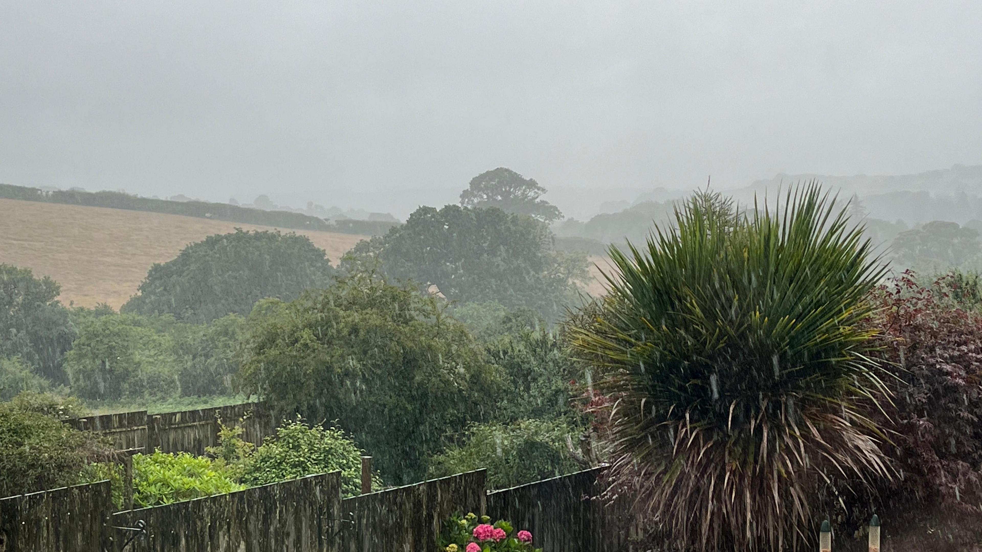
Heavy rain warnings issued as cool, wet summer continues

- Published
With heavy rain moving in across the United Kingdom on Monday and Tuesday, yellow rain warnings have been issued by the Met Office.
Some localised flooding, travel disruption and difficult driving conditions are possible along with a small chance of power cuts.
The cool and wet July continues to bring a rather disappointing start to summer for many of us so far.
There are signs of some warmer and drier conditions later in the week.
Met Office yellow warnings for rain in force for Monday across England and Wales
Heavy rain
The first yellow warning is valid all day on Monday and covers south-west England and much of Wales.
There could be as much as 30-40mm (1-1.5in) of rain falling in a space of a few hours which could lead to some localised flooding.
Lightning may also accompany the heavy rain in places.
Later on Monday and into Tuesday, the heavy rain will have moved further north-east where another yellow warning will be in force from 3pm Monday to 9am Tuesday.
The Met Office warning suggests heavy rain will cause some localised flooding in places with travel disruption.
By Tuesday there will be slow moving and heavy showers affecting north-east England and parts of Scotland
Slow moving heavy showers
On Tuesday there will be some slow moving and thundery showers affecting northern parts of England and southern Scotland.
A yellow warning will come into force across north-east England, Cumbria, south-west Scotland, up into Grampian from 8am to 8pm on Tuesday.
Slow moving showers could bring 30-40mm (1-1.5in) of rain in a three- to four-hour period to some areas which could lead to some localised flooding.
The odd lightning strike is also possible.
Cool and wet July
The first half of July has been notably wet and cool for many of us.
Loftus in north-east England has already recorded over twice the average July rainfall, with 147mm (5.8in) falling compared to the whole month average of 62mm (2.4in).
Even in southern England, Northolt in west London and Weybourne, Norfolk have seen more than a month’s worth of rain.
According to the Central England Temperature series – the longest temperature record in the world – the maximum temperature has been around two degrees lower than average.
The cool and wet July has been a result of the jet stream – fast moving wind high in the atmosphere – being positioned predominantly over or to the south of the UK.
Being on the north side of the jet stream means we are influenced by the colder Arctic air.
And as the jet stream is responsible for spinning up areas of low pressure, weather fronts bringing rain and breezy conditions have been a constant feature of our weather.
Warmer weather could be on the way into next week
Is there any sign of warmer, drier weather?
Temperatures will creep up later this week, but only temporarily for now.
On Friday we will get some warmer south-westerly winds bringing temperatures into the low to mid-20s.
If we reach 25C, that would be the first time this July we have seen this temperature.
The last time that we didn't pass 25C anywhere in the UK in the first 15 days of July was 2004.
It should also become a bit drier for many too.
Beyond the end of this week, our monthly outlook suggests "hints of warmer weather".
Low pressure looks like retreating to the north-east of the UK with a large area of high pressure to extend into the UK.
High pressure would suggest a drier, possibly sunnier spell of weather where temperatures could rise to above or above average for the time of year.
- Published1 day ago