Monthly Outlook

- Published
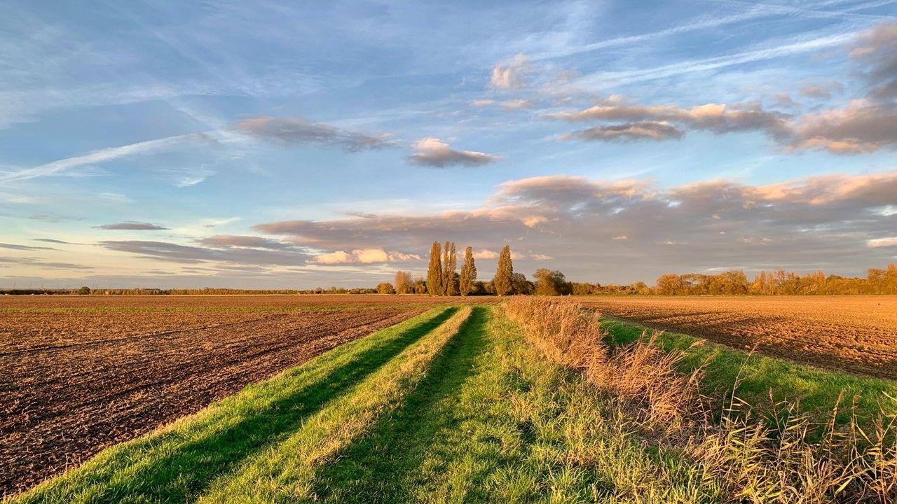
An extended period of settled weather is on the doorstep for most of the UK with high pressure dictating conditions through at least the first ten days of November and probably longer.
It will turn chillier at times with more risk of fog and frost but notable cold is not expected. Indeed, temperatures should be near to a little above the November average. There will be a lot of dry weather but a change in pattern could come around the middle of the month and into the second half of November, with wetter and windier conditions developing.
Tuesday 29 October to Sunday 3 November
Becoming more settled but chillier
The second half of this week will become more settled and drier as we start to see a build of high pressure, which will be with us in some shape or form for at least a couple of weeks. Frontal systems will skirt Scotland and bring periods of rain, especially to northern and western Scotland. However, any fronts that try to move southwards are going to run into this developing high pressure, so they will weaken, with any rain soon fragmenting and petering out.
The northern half of the country will have some brisk winds at times, but the south will experience rather low winds for much of the time. This will lead to risks of overnight fog patches, some of which could linger into the daytime. There will also be increasing risks of frost, especially as some chillier air gets into the UK this weekend.
Having said that temperatures are most likely only going to dip to nearer the seasonal average for a couple of days, although they could vary from place to place depending on banks of low cloud moving around, along with risks of persistent fog patches.
There is a small risk that high pressure could temporarily shift north-west of the UK, which would allow colder air to sink southwards with some wintry precipitation in northern areas. This scenario looks less possible than it did in last Friday’s update, but minor shifts in the position of high pressure could have an impact, so confidence is not particularly high.
Monday 4 November to Sunday 10 November
A lot of dry weather but a showery spell midweek
Seasonably chilly air could linger through to the start of next week, but temperatures should soon lift a little above average as high pressure re-positions a bit farther east, drawing in some milder flows, although nothing particularly warm.
Although the mostly dry and locally foggy conditions should continue for a while, high pressure could weaken around the middle of next week and into the second half This could allow a front to move in and bring a period of showery rain to some areas, some of it potentially quite sharp locally. A drier trend should return by the end of next week as high pressure starts to build back again.
Monday 11 November to Sunday 24 November
Settled for a while but potentially wetter later
High pressure should continue to build and remain in place across or near the UK through the middle of November. As a result most of the UK should see a return to settled and mostly dry weather. However, although weakening fronts moving around the northern flank of the anticyclone could bring occasional bouts of rain, most probably mainly to northern and northwestern areas where winds could pick up at times.
The southern areas of the UK should have longer periods with low winds, making some areas susceptible to fog and frost again, despite temperatures most probably being near or a little above average. There is again a risk that high pressure could drift west or north-west of the UK and that would produce some chillier winds with wetter conditions, with some wintriness in the north, but nothing of particular note.
Later in November there are indications that the pattern could shift around, with high pressure perhaps occupying a more southerly position. This could crack the door ajar for low pressure and frontal systems to enter from the Atlantic, and so a generally wetter period would be possible, with winds picking up at times over a larger area. Temperatures would most probably remain near or above the seasonal average.
Further ahead
The next update on Friday will look right into the end of November. The new model runs might also give us a better idea of how the stubborn high pressure might behave.
- Published20 September
- Published18 September