Where is South America?
South America is in both the Northern and Southern Hemisphere, with the Equator running directly through the continent. The Tropic of Capricorn also runs through South America.
The Pacific Ocean is to the west of South America and the Atlantic Ocean is to the north and east.
South America contains twelve countries in total. These include Argentina, Bolivia, Brazil and Chile. South America is the fourth largest continent, with around 423 million people living there.
Map of South America - KS2 Geography
Physical geography
South America has a very varied landscape. It has the world’s largest river system, the Amazon River basin, flowing through the Amazon rainforest. Brazil is has three major biomes: the tropical rainforest, the Atlantic Forest, and the Cerrado savannah.
Amazon rainforest
There is a hot and wet climate in the Amazon rainforest and it is full of biodiversity. The rainforest spreads over four different nations and it is around twenty five times the size of the United Kingdom.
There are many indigenous communities living in the rainforest today.
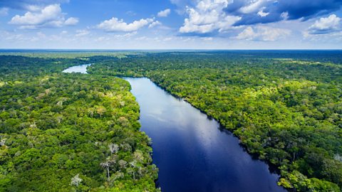
Amazon River
The Amazon River is the longest in South America, and the second longest river on Earth after the Nile in Africa. The source (start) of the Amazon River is in the Andes Mountain range in Peru. It flows northwards through Brazil with its mouth taking water into the Atlantic Ocean.
Piranhas have adapted to live in the Amazon River. Their teeth are designed to tear through plants and animals. Piranhas lose their teeth regularly, with new, sharp teeth growing in their place.
The Andes
The Andes mountain range is the longest mountain range on Earth. It runs along the western coast of South America from the very southern tip to the north coastline, near to the Caribbean.
The mountain range was created by a collision of the South American and the Nazca tectonic plates. This helped produce the tall peaks of the Andes mountain range, such as Mount Aconcagua, which stands almost 7,000m tall.
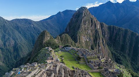
The climate of the Andes mountain range varies: northern parts are wet and warm, southern parts are cold and wet, whilst the central areas are cold and very dry.
Human geography
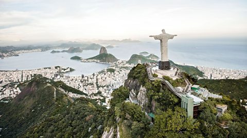
South America's largest cities include SĂŁo Paulo and Rio de Janeiro (in Brazil), Buenos Aires (in Argentina) and Lima (in Peru).
Brazil is the largest country in South America and also has the largest population. It is a major tourist destination, with over 2 million people visiting every year to see famous landmarks such as Christ the Redeemer and Ipanema beach.
There are many ports in South America which are important for trade and the economy. Find out what some of the largest ports trade in the table below.
| Port | City and country | Key exports |
|---|---|---|
| Itaqui | Maranhao, Brazil | Itaqui is the busiest port in Brazil. Key exports include soya beans and corn. |
| °ŐłÜ˛ú˛ą°ůĂŁ´Ç | Vitoria, Brazil | Brazil is one of the world’s largest producers of iron ore. °ŐłÜ˛ú˛ą°ůĂŁ´Ç exports large amounts of it as well as soybeans and grain. |
| Santos | SĂŁo Paulo, Brazil | Santos's exports include soy, sugar, corn, fertilizers, coffee, fuels and vehicles. |
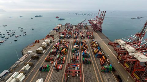
| Callao | Lima, Peru | The busiest port in South America is in Callao. Key exports include minerals, petrol and fish products. |

Activity: Quiz – South America
Bitesize Primary games. gameBitesize Primary games
Play fun and educational primary games in science, maths, English, history, geography, art, computing and modern languages.

More on The 7 continents
Find out more by working through a topic
- count4 of 14
- count5 of 14
- count6 of 14
- count7 of 14
