When is it going to stop raining?

- Published
You don't need me to tell you that it has been wet. For some, very wet.
March followed the last few months of above average rainfall for most of the UK.
Parts of southern England have been wettest with more than twice of March's average rainfall.
The one question I'm being asked all the time at the moment is when is it going to stop raining?
As weather forecasters we're always careful not to emphasise any type of weather as 'good' or 'bad'.
Rightly so as while one person may think weeks of dry, sunny and warm weather is 'good', there'll be others like farmers who might see that as 'bad' when rain is needed.
Personally I tend to try and reflect the mood of the majority of the nation.
Judging by the messages I'm getting on social media and most people I come across, the current mood is one that is fed up with rain.
Prolonged dry spell?
April has started unsettled with areas of low pressure close to the United Kingdom bringing showers or longer spells of rain.
Despite that there has been and will continue to be some drier interludes or even whole days where the rain may miss you.
It has even felt like we've turned a corner with some warmth when the sun has made an appearance.
However, I think what many would like to see is a prolonged period of dry weather - and for that we need high pressure.
In this weather pattern air would be sinking in the atmosphere and this limits rain clouds from forming.
It also acts as a block to rain-bearing weather systems coming in.
I guess the 'bad news' is that there is no sign of high pressure becoming dominant across the UK in the next week or two.
With low pressure close by we'll see rain or April showers at times up to the middle of the month at least.
These showers will also be a reason why your app may not be totally representative, especially if you're only looking at the daily symbol.
Showers are notoriously difficult to pinpoint with accuracy and therefore while the app may show you a threat of showers, it's worth looking at the percentage chance throughout the day.
If it's lower than 50% in any hour it's more likely to stay dry than rain. But be prepared with an umbrella.
For a spell of dry weather we'd need high pressure to be positioned over or close to the UK for a few days.
Long-range forecast
Any forecast beyond 10-14 days becomes more uncertain and we can only really describe general trends.
These trends are based on large climatic systems such as the El Niño Southern Oscillation.
El Niño - the warming phase of the eastern Pacific - is starting to weaken with an expected shift to the cooling phase - La Niña - later in the year.
As there has been a warming of the Atlantic, the higher than average sea surface temperatures are likely to keep the UK warmer than average into the summer months.
So what about rainfall?
For the second half of April southern areas may become drier than recently with the wetter weather more likely across northern areas.
Overall, this would bring a shift to near-average rainfall conditions.
Into May the signal is for average rainfall.
In June there are indications of rainfall increasing to above-average.
While the signals for May and June may appear useful, I should stress that we can't be specific about the distribution of the rain through the month so it could still indicate lengthy dry spells but when it does rain, it'll rain a lot.
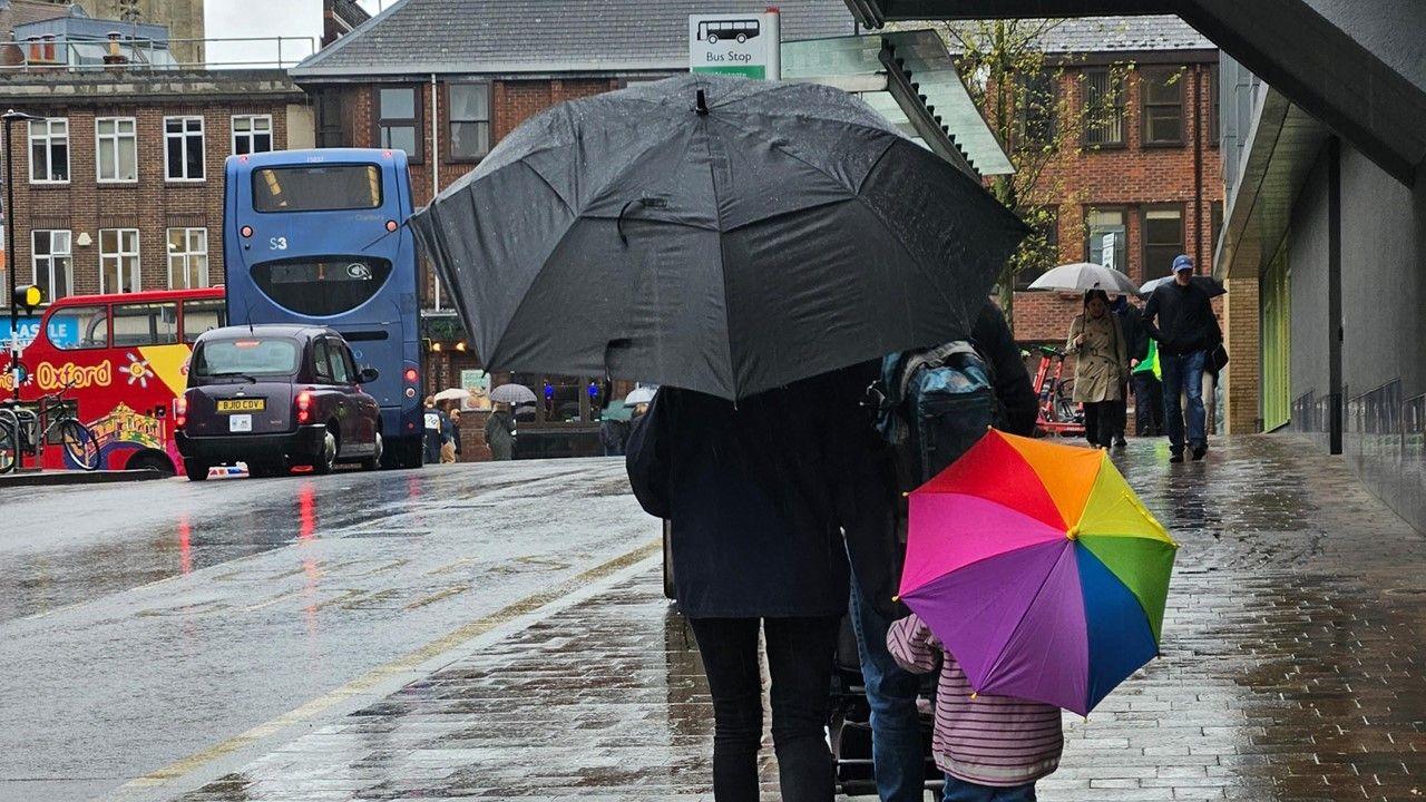
Typical view for many of us looking out the window at the rain.
Why has it been so wet?
The main culprit has been the jet stream - a fast wind high in the atmosphere - directing rain-bearing weather systems across the Atlantic to the UK.
With the jet stream persistently just to the south of UK, we've had low pressure coming in from the south-west.
The focus of the rain therefore has been across southern areas of England and Wales.
Normally we'd see the jet stream further north bringing most of the rain towards Scotland but as this hasn't been the case, it's actually been drier than average here.
It's only when the jet stream either weakens or is positioned to the north of the UK we can get high pressure building bringing drier - and potentially warmer - conditions.
You can find out when it might stop raining where you are by following:
91Čȱ¬ Weather on Twitter , on Instagram and on 91Čȱ¬ Online.