Using coordinates to pinpoint locations
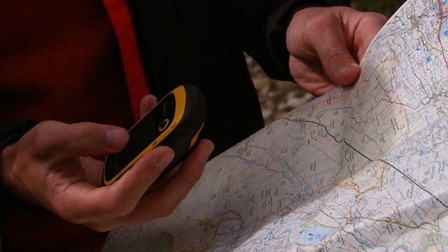
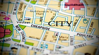
Joe Crowley explains how coordinates can be used to help pinpoint an exact location on a map. He explains that there are different types of coordinates and demonstrates how latitude and longitude can be used to plot a position anywhere on earth. Degrees, minutes and seconds are used, as well as digital forms to express latitude and longitude. Latitude is plotted according to your position relative to the equator, whereas longitude is plotted according to your position relative to the prime meridian at Greenwich. Latitude and longitude are used by GPS, or Global Positioning Satellite, technology. Joe explains that a system that鈥檚 often used as an alternative to latitude and longitude when navigating using Ordnance Survey maps is a system called grid references . This uses a six figure eastings and northings method. Joe shows how the grid references work to plot a position within 100 meters.
Duration:
This clip is from
More clips from Get Lost
-
![]()
Navigational challenge - reading maps on the coast
Duration: 09:11
-
![]()
Navigational challenge - reading maps on the moors
Duration: 09:37
-
![]()
Navigational challenge - reading maps in the hills
Duration: 10:44
-
![]()
Rights of way
Duration: 02:27


