Mammatus clouds: What are they and how are they formed?
- Published
- comments

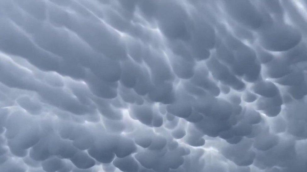
Unusual mammatus clouds were pictured in Forney, Texas
Check out this incredible and unusual cloud formation.
These mammatus clouds were spotted in the skies above Forney, Texas.
They might look soft and fluffy, but these sorts of clouds usually mean a storm is on the way.
They're formed alongside cumulonimbus clouds - also known as thunderclouds - and bring with them hail, thunder, lightning and if it's cold enough, snow too.
How are mammatus clouds formed?
Mammatus clouds are often formed alongside cumulonimbus clouds, the type of cloud known for producing thunderstorms
Mammatus clouds are formed when cool air sinks down forming these round, bubbly clouds.
According to the Met Office (the UK's national weather service), they usually form hand-in-hand with cumulonimbus clouds - otherwise known as the thunderstorm cloud - because these are made up of a lot of unstable air.
Mammatus clouds tend form under the most unstable cumulonimbus clouds, which is why they're often followed by a big storm.
Mammatus clouds can form in all sorts of different shapes and sizes, but they always look spectacular
Their name comes from the latin word mamma which means 'udder' - and you can see how they got that name.
They usually form underneath a cumulonimbus but they can also form on other cloud types.
They've even been seen on the underside of volcanic ash clouds.
- Published31 May 2023
- Published11 June 2023
- Published9 June 2023
