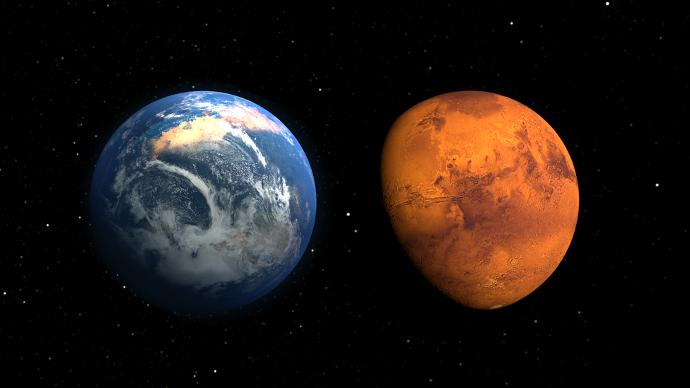
Nasa's new interactive map of Mars lets you tour the red planet
- Published

If you have ever dreamt of being able to walk on Mars, Nasa's new interactive map of the red planet is a step in the right direction.
Researchers at the US space agency have created a digital tour of Mars using more than 110,000 images taken from Mars Reconnaissance Orbiter (MRO).
The MRO is a space craft that has been orbiting the planet since 2006, sending back data to scientists on Earth.
All the information the satellite has collected has now helped a team of experts create an almost complete picture of Mars.
When on the map, you can click on any of the planet's incredible features to zoom in and see it in facinating detail.
The black-and-white images have been "stitched" together like a mosaic and can be navigated with just a few clicks.
It took six years and tens of thousands of hours to develop according to Nasa.
Jay Dickson, an image processing scientist who led the project, said he wanted to "lower the barriers for people who are interested in exploring Mars".
"I wanted something that would be accessible to everyone," he added.
"Schoolchildren can use this now. My mother, who just turned 78, can use this now."
You can zoom, swipe and navigate around Mars - just like on Google Earth!
The map shows amazing, never-before seen images of cliffs, craters, and dust devil tracks in mesmerizing detail.
A dust devil is where a gust of really fast wind picks up debris and becomes visible as a column.
You can find the Map at the Nasa website.
