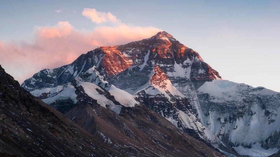
World's tallest mountain, Mount Everest, just got taller!
- Published
- comments

After years of debate, the highest mountain in the world, Mount Everest, is officially a little bit bigger.
Mount Everest sits on the border of Nepal and China. The summit is believed to be the highest place in the whole world!
Nepal and Chinese authorities have finally come to an agreement that the mountain is 8,848.86 metres (29,031 ft) tall.
The new measurement makes Everest 86 centimetres higher than Nepal's previous height, and more than four metres higher than China's previous measurement.
Mount Everest is thought to rise about 40cm per century (100 years), so it will continue to get bigger, but very slowly.
At the top of mountain, it's very cold and capped with snow all year round.
It can take 10 weeks for a trained climber to make it to the top of Mount Everest and they must go through rigorous training first.
The mountain is estimated to be 50-60 million years old and was formed by the collision of the Indian and Eurasian tectonic plates.
Mount Everest sits on the border between China and Nepal
Why was there a disagreement?
Chinese experts believed Mount Everest should only be measured by its rock height, but Nepalese scientists wanted to include the snow that sits on top of the mountain.
After a major earthquake in 2015 there was a theory that the movement of sections of the Earth's crust, called tectonic plates, could have affected its height, leading many to believe it should be measured again.
Surveyors from both countries have now worked together to agree on the new height after they conducted new measurements.
An agreement to jointly announce the new height was made after Chinese President Xi Jinping made a visit to Kathmandu, Nepal's capital, last year.
The Big Question: How do you measure a mountain?
The mountain is so big is takes weeks to get to the top
Measuring up
Nepal sent their own team of surveyors up the mountain for the first time in May 2019. The previously height they had on record was from an Indian survey in 1954.
The team spent two years training for the mission, but the conditions at the top are so harsh the lead surveyor lost his toe to frostbite!
The Chinese team which measured the mountain again in May
Chinese surveyors reached the summit in May this year. They are the only team to have got to the top this year because the mountain has been closed to climbers because of coronavirus.
Surveyors from both countries used the same methods to do their own measurement of the mountain, eventually agreeing on the new taller height.
- Published29 May 2013
- Published22 May 2012
- Published25 May 2019
