Website maps Vanuatu climate change flooding risk
- Published

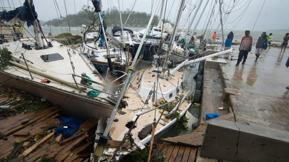
Cyclone Pam in 2015 forced some on Vanuatu to reconsider the effects of climate change
A new web tool is allowing Pacific Islanders on Vanuatu to see how rising sea levels could affect their homes and businesses over the coming years.
Coastal Risk uses mapping technology to show how predicted levels of flooding as a result of climate change could inundate the islands, . The is the work of an Australian research organisation in cooperation with geographic information company NGIS, and allows local people as well as the authorities to make informed decisions about their future and that of subsequent generations.
Website users are able to see how their locality might look depending on different scenarios, the most severe of which anticipates a sea level rise of 74cm (29 inches) by the year 2100.
The says Vanuatu residents are "already on the front line of climate change", and the website will allow the authorities to decide where to direct resources.
Speaking to Pasifik, Jesse Benjamin, Vanuatu's Director-General of Climate Change, said the website "will build awareness regarding the challenges that Vanuatu faces with climate change, and will ultimately lead to more effective decision making".
The website is already paying off, according to Nathan Eaton of NGIS. He that one village chief was already planning to act after having access to the maps in the wake of 2015's Hurricane Pam. "He could actually move his village up the hill so it wasn't in the low lying area which is currently looking to be inundated significantly by the year 2100," Mr Eaton said.
Low-lying islands in the Pacific are already facing the , with changing weather patterns bringing increased risk from flooding and cyclones. Rising sea levels may also mean increased numbers of as islanders seek out safer, higher ground.
Web users can see how their locality may look if sea levels rise as predicted
Next story: Ukraine separatists crown 'most patriotic cat'
Use #NewsfromElsewhere to stay up-to-date with our reports via .